In recent years, illegal mining, known in Ghana as “galamsey,” has plundered the lifeblood of our land, corroding rivers, ravaging forests, and shattering the livelihoods of cocoa farmers and communities across the nation. Every corner of Ghana, from the forests of the Western Region to the banks of our rivers, bears witness to this ecological and social catastrophe.
It is not only Ghana, but also many of her African neighbours, Nigeria, Mali, Sierra Leone, where unregulated mining has turned landscapes into battlefields for survival, as mentioned in Lindström, Alina’s article.
The Ghanaian government has repeatedly acknowledged galamsey’s threat, launching task forces, destroying illicit equipment, and pledging reform. For example, in June 2025, Ghana’s National Anti-Illegal Mining Operations Secretariat (NAIMOS) launched nationwide operations, seizing equipment and shutting down unauthorized sites near water bodies, showing the government’s strong commitment to combating the impacts of illegal mining.
Yet, amid this justified focus, a silent peril continues to go largely unnoticed: the failure of tailings dams, structures that store mining waste, without which, disaster can be imminent. While galamsey’s gallery of destruction steals headlines, we must not ignore the looming hazard beneath the surface: tailings dams failure without warning, unleashing toxic torrents that can devastate communities and ecosystems in a single moment.
Across Africa, this is more than a hypothetical scenario. According to Eos, a science news magazine giant, in February 2025, Zambia’s Chambishi tailings dam catastrophically failed,
unleashing millions of liters of acidic waste into the Kafue River, with dire consequences for water quality, ecosystems, and human health.
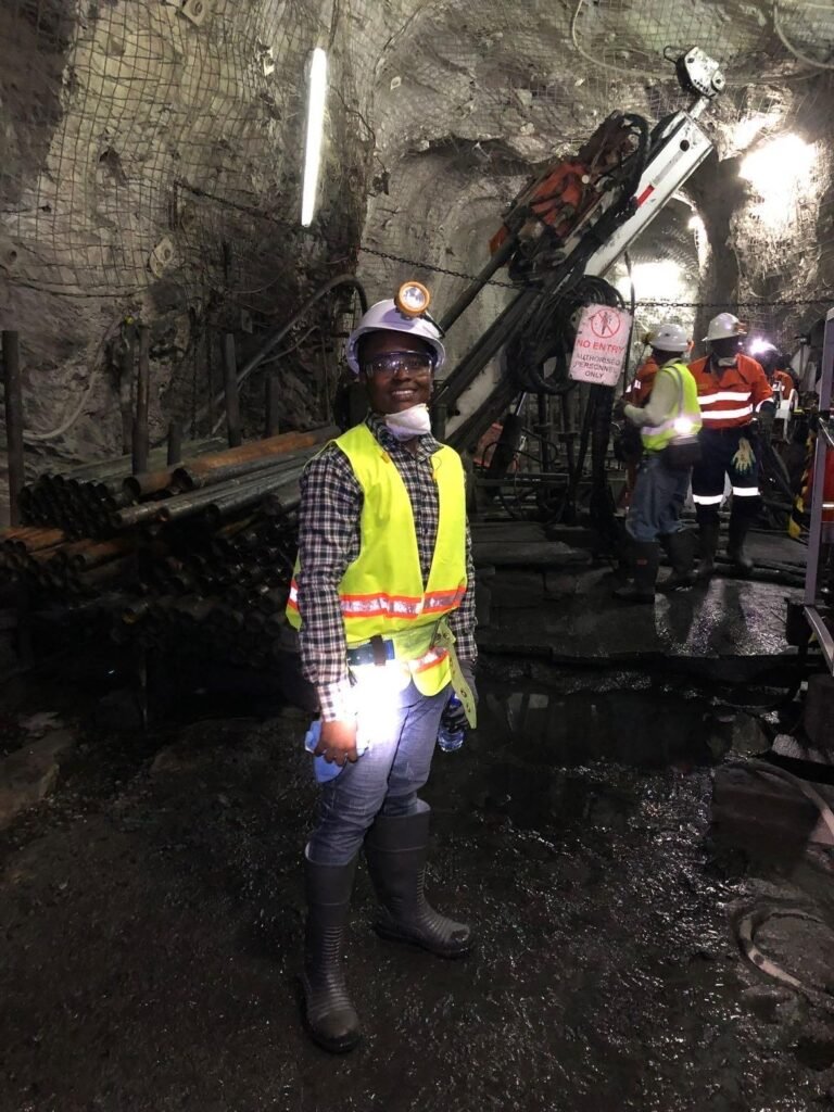
As a geotechnical engineer working in the United States, I would like to introduce you to a groundbreaking method that could reshape how the mining industry monitors and manages tailings dams across countries.
With my expertise in slope stability, I have applied Digital Image Processing (DIP) to investigate how tailings dams deform under pressure.
This research demonstrates that image-based monitoring can provide earlier and more precise warnings of dam instability, offering a powerful tool for improving mine safety in Ghana and beyond.
Tailings dams, which store waste from mining operations, remain among the most vulnerable structures in the industry. Their failures have historically caused severe environmental damage, economic losses, and in some cases, tragic loss of life. Traditional monitoring methods often rely on instruments installed at fixed points, which can miss critical deformations across the wider structure.
My research offers a new solution by constructing scaled laboratory models of tailings dams with both coarse and fine materials, simulating real world pore water pressure build-up and captured over 500 high-resolution images throughout the deformation process. Using advanced image analysis, by generating pixel-by-pixel displacement fields and vector maps, provides detailed visualizations of how slopes shifted and ultimately failed.
My research findings revealed distinct differences between material types: coarse tailings failed at higher pressures due to better drainage, while fine tailings collapsed more quickly under lower pore pressures. Importantly, the DIP method accurately tracked these changes, showing progressive deformation long before full failure occurred.
This research marks a novel application of digital imaging in slope stability, moving monitoring beyond localized sensor data toward whole-surface analysis. The ability to capture early signs of instability has significant implications for the mining industry, particularly in regions like West Africa, where tailings facilities are expanding alongside increased mineral production.
According to Hussain et al. (2022), experts note that such image-based approaches can be scaled to field conditions using fixed cameras or drones. When integrated into operational monitoring programs, DIP could serve as a real-time early warning system, helping operators take preventive measures before disasters strike.
By advancing a safer and more efficient approach to slope monitoring, this work contributes to global efforts to reduce mining risks while strengthening sustainable resource management.
In conclusion, the challenges posed by illegal mining and tailings dam failures demand a holistic and forward-looking response. While the government has rightly invested significant resources in combating galamsey, equal urgency must now be directed toward monitoring and ensuring the safety of tailings dams, which represent a silent but equally devastating threat to lives, livelihoods, and the environment.
Regulatory institutions such as the Ghana Geological Survey Authority (GGSA), the Minerals Commission, and the Environmental Protection Agency (EPA) must strengthen their oversight by integrating modern monitoring technologies into national policy.
Periodic inspections and mandatory use of advanced techniques like Digital Image Processing (DIP) should be part of a new regulatory framework that prioritizes prevention over reaction. For mining companies, safety must be treated not as a compliance checkbox but as a core responsibility.
Mining companies should invest in real-time monitoring systems using fixed cameras, drones, or satellite-based imaging that can detect early warning signs of slope instability.
This is not only a safeguard for communities and ecosystems but also a long-term protection of the industry’s reputation and sustainability.
Collaboration between government agencies, academia, and industry is vital. By adopting cutting-edge methods such as DIP, Ghana can position itself as a leader in mine safety innovation across Africa. In doing so, we will protect our environment, safeguard our people, and ensure that mining continues to serve as a pillar of national development, leaving a legacy of sustainability and destruction.
REFERENCES
Lindström, A. (2025). Deforestation and Illegal Gold Mining: A Comparative Analysis of Governmental Strategies in Ghana, Sierra Leone, and Zimbabwe.
Hussain, Y., Schlögel, R., Innocenti, A., Hamza, O., Iannucci, R., Martino, S., & Havenith, H. B. (2022). Review on the geophysical and UAV-based methods applied to landslides. Remote Sensing, 14(18), 456
Written by Abraham Armah
Geotechnical Engineer/BSc/MSc/CAPM